Following the Sun – Using Caltopo’s Sun Exposure Feature for Spring Ski Touring
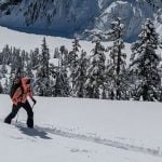
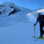
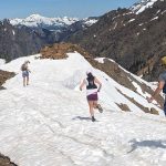
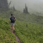
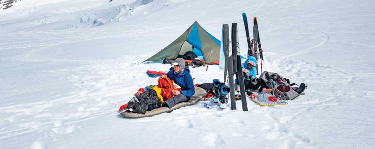
Backcountry skiers have very different relationships with the sun depending on where they are from and what time of year it is. In the depths of winter, the sun angle is quite low and the sun is often a welcomed sight, a sign of good weather and a little bit of warmth. As the spring develops, though, the sun starts to become a critical factor in backcountry tour planning. The sun’s angle in the sky starts to become severe enough to impact the snowpack, whether that be through wet loose avalanche activity or hanging cornices warming and potentially falling.
There are many digital mapping apps nowadays, but my favorite remains Caltopo. I’ll do a brief introduction to the sun exposure feature on Caltopo and how it can be beneficial to spring ski tour planning.
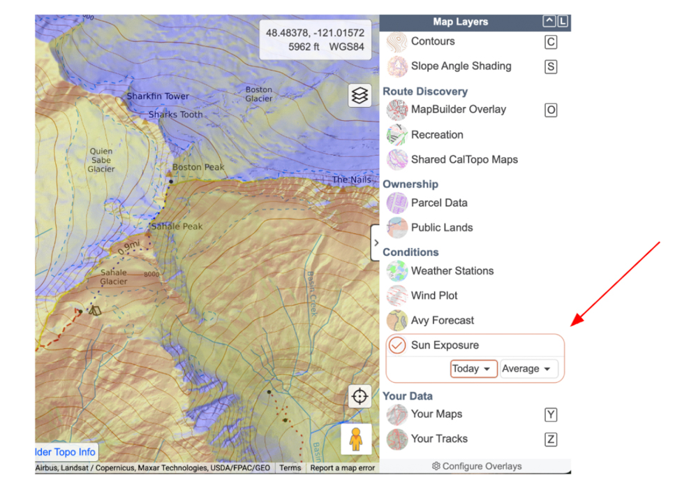
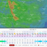
The sun exposure layer has moved around as Caltopo has updated their UI; as of Feb 2026 it lives in the Conditions section (scroll down a bit to reach it). There are two toggle menus: Date and Time of Day (default is Today and Average).
Using the toggle, you can adjust which day you want to search for and what time of day. I’d highly recommend turning off any other shading layer, especially Slope Angle Shading, when using sun exposure. This will help with eliminating distracting elements. The map will then load blue for lack of sun and yellow / orange for sun exposure.
So…where does this become useful?
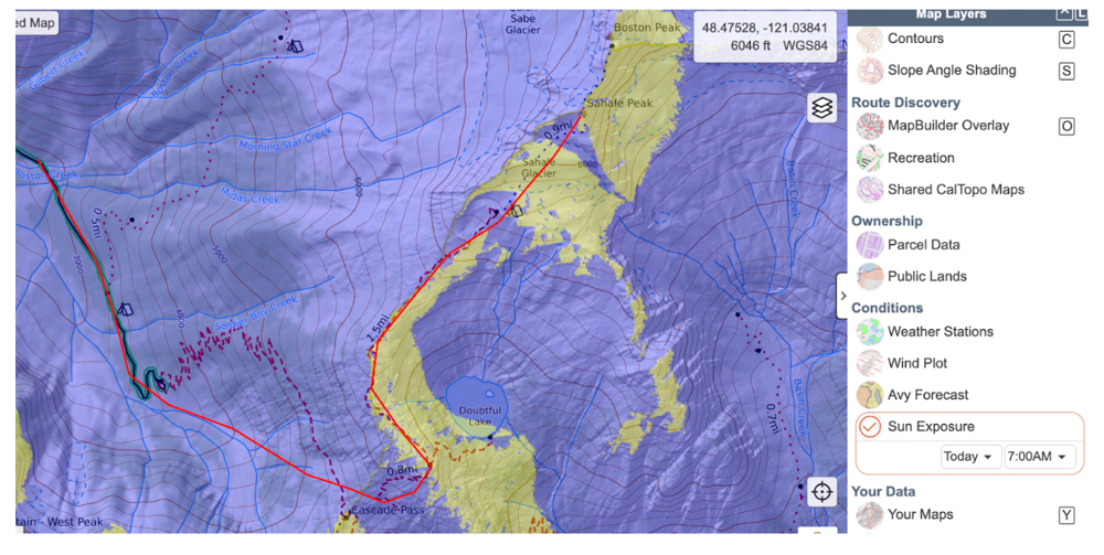
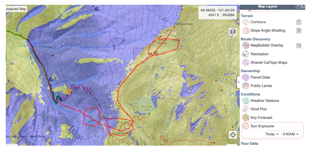
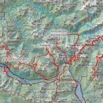
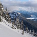
Something I really like to do is plot my route and then turn on the sun exposure map and toggle through the hours of the day. I’ll use ascending Sahale Peak as an example here.
Keep in mind that ‘Today’ is Feb 27 (writing of this article). The route I have drawn is in red. At 7A PST, there’s hardly any sun on the route, just areas east of the ridgeline are getting ‘first light’. Everything else is in the shade.
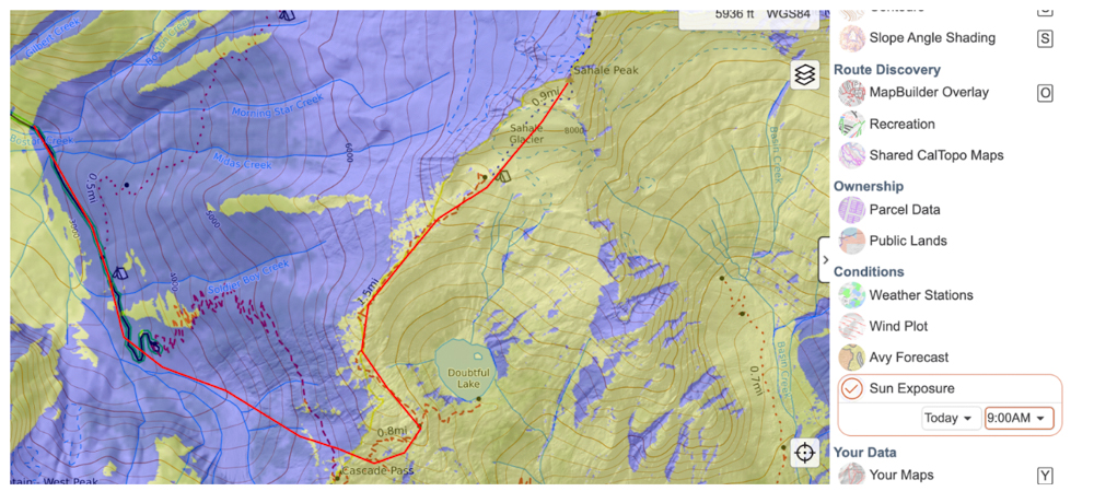
Here’s the route at 9AM. Notice that now much of the eastern side of Cascade Pass has received sun, most notably the slopes of the Sahale Glacier that face south.
I’ll take a moment to toggle back to slope angle shading and highlight potential areas of avalanche terrain. I’ll use polygons (and usually put their fill at 0%) to show areas where I might be concerned about overhead hazard or slope angle.
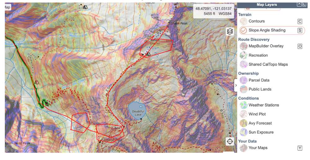
Then I’ll go back to my sun exposure layer and turn that back on. Now that I’ve drawn particular areas of concern, it’s useful to toggle through the sun exposure layer to see when those areas start to get sunlight.
Notice that not all areas are getting sunlight yet; the upper one is, the lower two are partially.
This just serves as one example, and I don’t mean to nitpick Sahale in particular, but sun exposure is an incredibly useful tool for visually seeing when certain pieces of terrain will start to experience sun impact.
So…putting it all together, how is this a valuable tool?
First and foremost, this is a tool for before you head into the field. I like using this tool for informing start time, when my group wants to be out of certain hazard zones, etc. I don’t find this to be all that informative once in the field; you can often see when the sun starts to hit certain slopes, and you’ve already started your day!
I highly recommend you start playing with the sun exposure layer at home, the night before, when you are planning out your route. Highlight certain areas, make notes! You can put so much information into a Caltopo map before you head into the field. For example, you can make a note on a polygon about when the sun might start to hit that particular area.
About the Gear Tester
Sam Chaneles
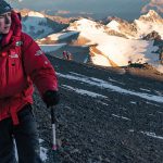
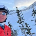
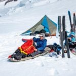
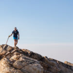
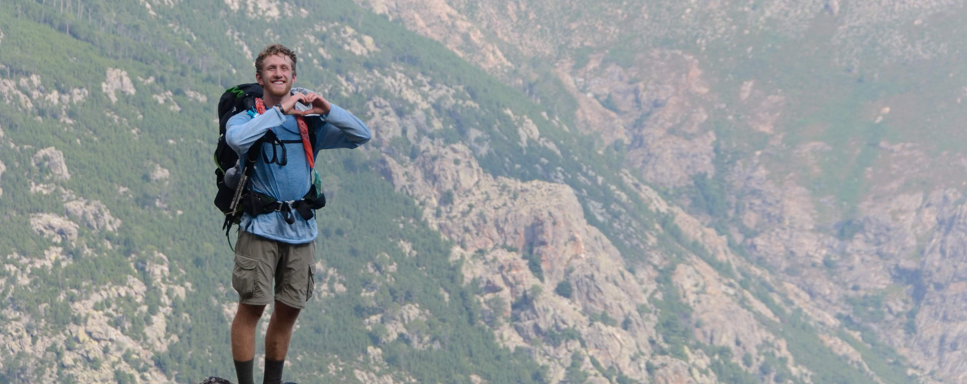
Sam Chaneles is an avid mountaineer and backpacker, climbing peaks in the Cascades, Mexico, Ecuador, and Africa, as well as hiking the John Muir Trail and off-trail routes in Colorado. He has climbed peaks such as Aconcagua, Mt. Rainier, Cotopaxi, Chimborazo, Kilimanjaro, and many more. Sam graduated with a B.S. in Mechanical Engineering from Georgia Tech. During his time there he was a Trip and Expedition Leader for the school’s Outdoor Recreation program (ORGT). He has led expeditions to New Zealand, Alaska, Corsica, France, and throughout the United States. Sam is based in Issaquah, WA just outside of the Cascade Mountains. You can follow Sam and his adventures on Instagram at @samchaneles, or on his website at www.engineeredforadventure.com.
- Sam Chaneles
- Sam Chaneles
- Sam Chaneles
- Sam Chaneles

- Sam Chaneles
- Sam Chaneles
- Sam Chaneles
- Sam Chaneles
- Sam Chaneles
- Sam Chaneles
- Sam Chaneles

- Sam Chaneles
- Sam Chaneles
- Sam Chaneles
- Sam Chaneles
- Sam Chaneles
- Sam Chaneles
- Sam Chaneles
- Sam Chaneles
- Sam Chaneles
- Sam Chaneles
- Sam Chaneles

- Sam Chaneles

- Sam Chaneles
- Sam Chaneles
- Sam Chaneles
- Sam Chaneles
- Sam Chaneles
- Sam Chaneles

- Sam Chaneles

- Sam Chaneles
- Sam Chaneles
- Sam Chaneles

- Sam Chaneles
- Sam Chaneles
- Sam Chaneles
- Sam Chaneles
- Sam Chaneles
- Sam Chaneles
- Sam Chaneles

- Sam Chaneles
- Sam Chaneles
- Sam Chaneles
- Sam Chaneles
- Sam Chaneles